Position: Head of project.
Recipients: Guadiana River Basin Authority. 2022.
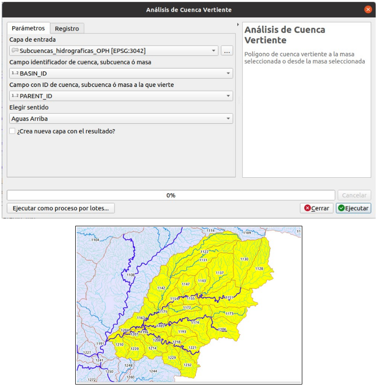
The work carried out corresponds to the migration of various hydro-meteorological tools available to the Guadiana River Basin Authority, developed for ArcGIS, to the open Geographic Information System QGIS, using the Python programming language. Specifically, the following geoprocessing scripts have been developed:
- Watershed analysis. Selection of masses (or sub-basins) upstream/downstream.
- Hydrological sense analysis. Selection of stretches of watercourses, upstream/downstream.
- Contribution basin analysis. Calculation of inflow basins at selected points.
- SIMPA data extraction. Given a layer of polygons, the calculation of accumulated values for the different polygons is carried out based on the variables of the SIMPA model of CEDEX. The application allows you to select the range of hydrological years (1940-2018) for which the calculation is made. The result is a set of (non-geometric) tables that are stored in a geopackage (gpkg) file.
