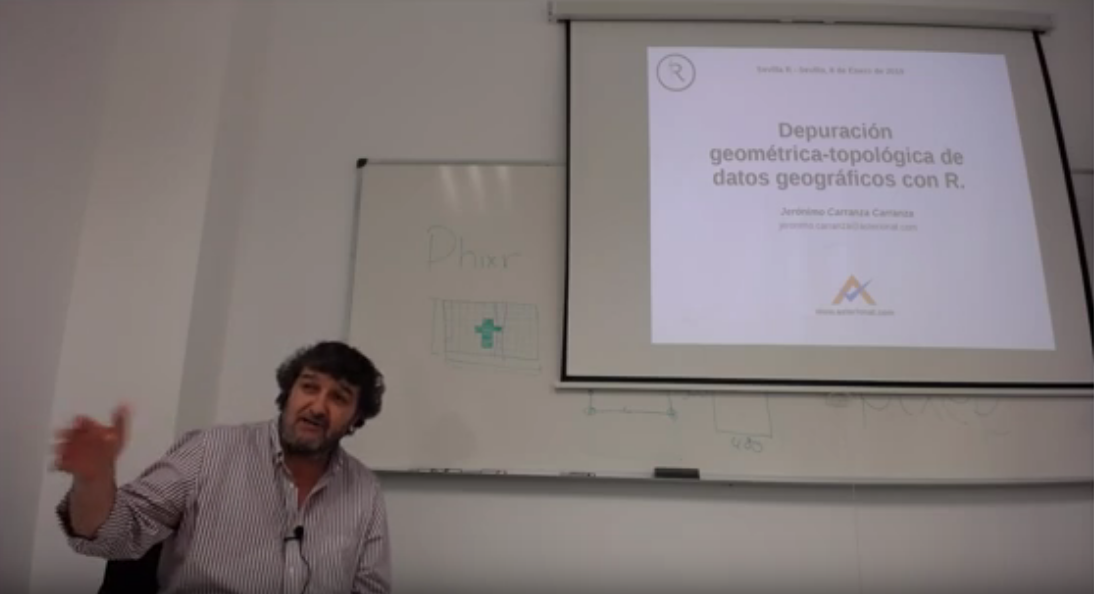
Geometric-topological debugging of geographic data with R.
Abstract
The talk consisted of three parts: In the first part, the fundamentals of spatial relationships between geographic objects (geospatial topology) and their importance in the geometric debugging of this type of data (geographic) were presented. In the second part, an introduction was made to the sf package that implements and supports the standard of simple geographic entities (simple feature) and of spatial relationships between them. Finally, in the third part, some of the concepts exposed in sf implementation are applied to an use case of geometric-topological debugging referred to hydrographic networks. Specifically, it was about checking a set of trees that represent hydrographic networks from their mouths, and turning the arcs, where necessary, to orient them in a hydrological sense, that is, from upstream to downstream. The logical foundation of the presented algorithm is the route of the set of trees from their mouths and the fact that in this route an arc will be well oriented if, among its neighbors, only the downstream arcs have already been visited. In other words, any arch between whose upstream neighbors has already been visited will be hydrologically inverted.
